Stats:
Distance: 69.33 mi
Average Speed: 9.8 mph; Max Speed: 36.4 mph
Elevation Gain: 4,745 ft
Average Temp: 74.4 F; Temp Range: 50.0-89.6 F
Story:
It was bright out until well after 9PM last night, and I had a difficult time winding down and going to sleep despite my long day. I would guess I dropped off somewhere around 10 and woke up when my alarm went off at 6:20. I went about my standard morning routine, cooking breakfast, packing up the tent and all my panniers as usual, but with one addition. Last night while I was cooking dinner, the owner of the RV park comes over apologizing profusely (but not profusely enough to give me a discount) that she gave me a site somebody else had reserved because she didn’t expect him until tomorrow. I had set up my tent in an RV spot and then had to relocate it and everything else, to a tent site. It wasn’t far, but it was a pain. And somewhere in the process, one of my tent stakes had gone missing. So this morning, while RV dude was still asleep, I walked over to his site and searched the ground a bit until I found it. Normally I only use 4 stakes, but when it’s windy the extra two come in handy as reinforcement, so I’m glad to still have it.
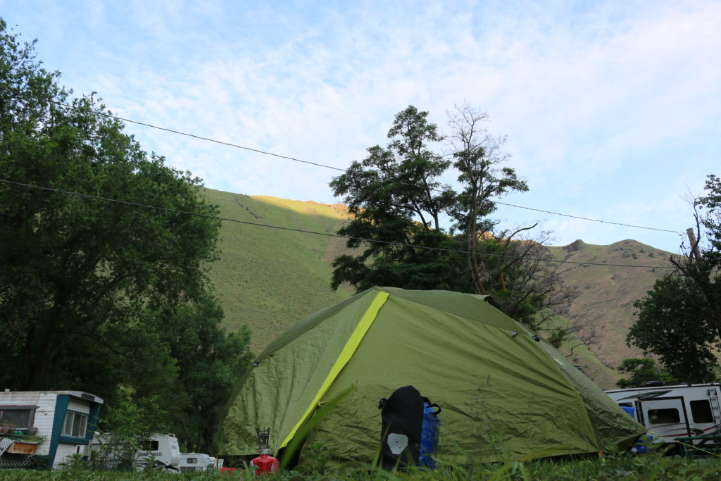
Where I woke up, Day 15
I hadn’t been riding for very long when I came to this sign.
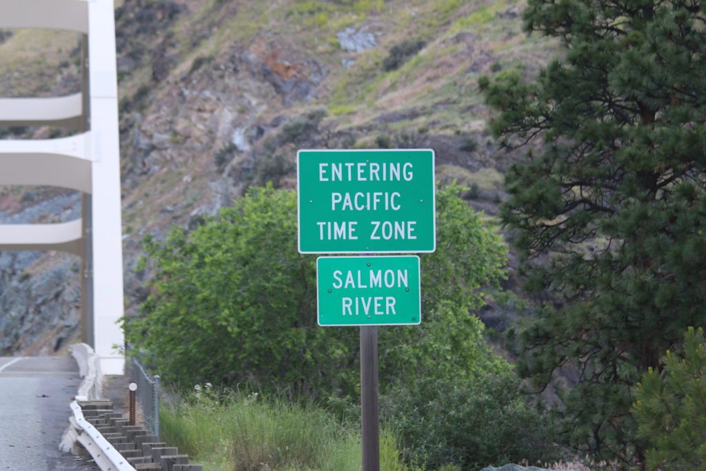
Again? I thought I just left that time zone.
Idaho is one of those unusual states where there are multiple time zones. So I had a few days in Mountain time, and now it’s back to Pacific until I reach Montana. Odd. But on the plus side, it meant that I had 25 hours in my day today. More time to ride. Well…not really, since my riding time is determined by sunlight, not by the clock, and that didn’t change just because I rode across a river.
The morning was chilly, not least because I was next to a river and in the shade of some mountains for a good part of it. But I haven’t forgotten that painful slog out of Hell’s Canyon, so I was grateful for the cool and the shade. Along the road to my right I spotted several small mine entrances. I had seen some interesting streaks in the exposed rocks, including some things I was pretty sure were quartz, but I don’t know what could have been so exciting as to tunnel into the side of the hill for. Based on a “historical marker” sign I saw a little past that stretch of road, I guess it might be gold. They had done some gold mining (the marker was pointing out some of the destruction caused by the mining activity) in the area until it became unprofitable. Perhaps individuals are still searching on a smaller scale.
It was a fairly easy ride to White Bird, where I stopped for a bit before reaching the business portion of the day. The woman behind the counter at the market said that the tap water was very irony. When I said I had a filter, the gentleman (co-owner?) next to me said he had some filtered water upstairs and would get some for me. It was very cold, and I would appreciate that later on.
After buying some cheese and tortillas (tortillas are great carbs to stuff in a pannier since they don’t get squished) and having a snack, it was time to begin the fun. As the sun rose towards and past noon, I wound my way through switchbacks and upwards over 1,500 feet to the top of White Bird Hill. Most of the climb was on Old Highway 95, an unpainted, narrow-ish, 2 lane road with little traffic. There was one mile on the current Highway 95, complete with getting passed by a paint truck refreshing the lines, and then back onto the Old road. At several points in the ride I was struck by watching the town of White Bird grow smaller and smaller before I rounded the hill and lost sight of the town.
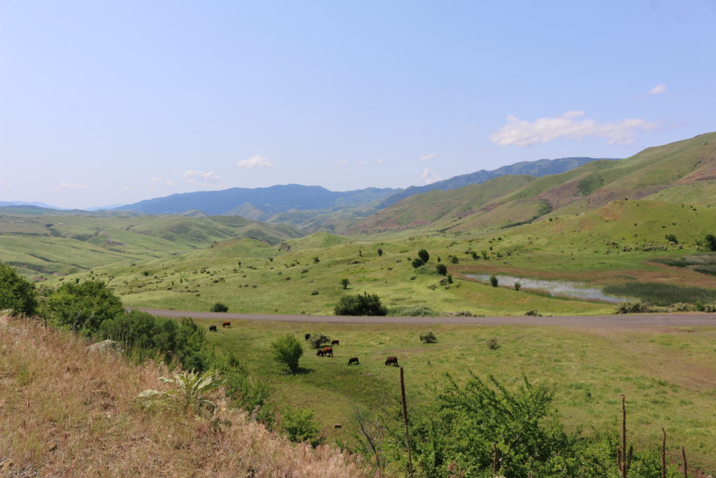
White Bird is tiny from up here
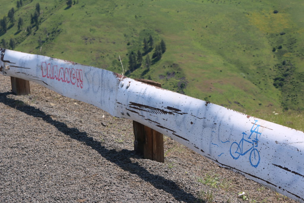
Daaaaang is exactly how I feel!
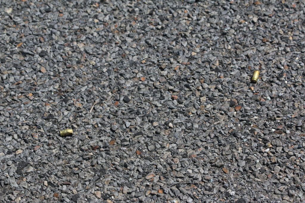
Spotted this during one of my rest stops.
I also got some great bird sightings
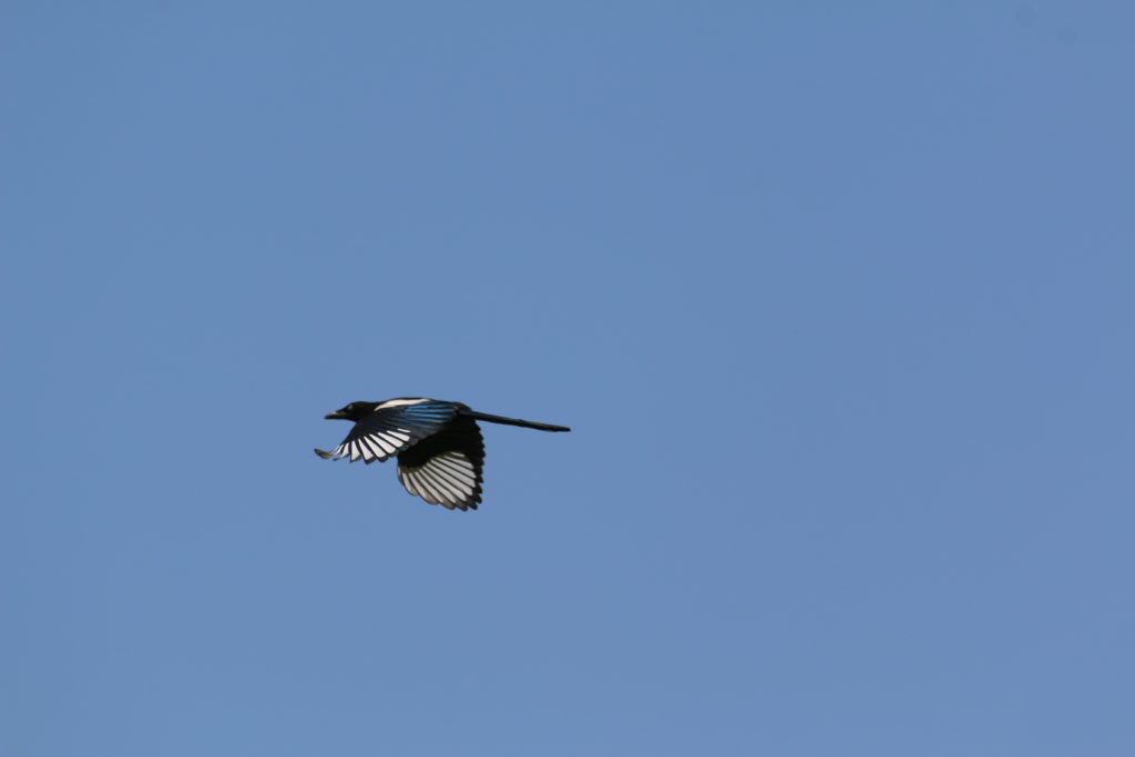
Magpie in flight
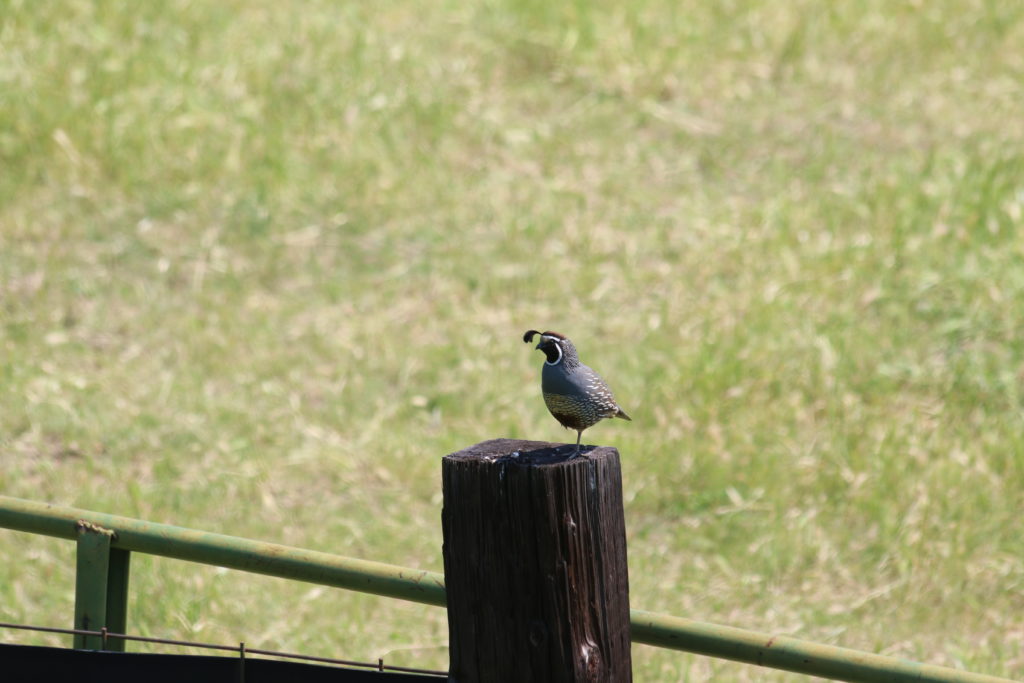
I love the little crest feathers on quail.
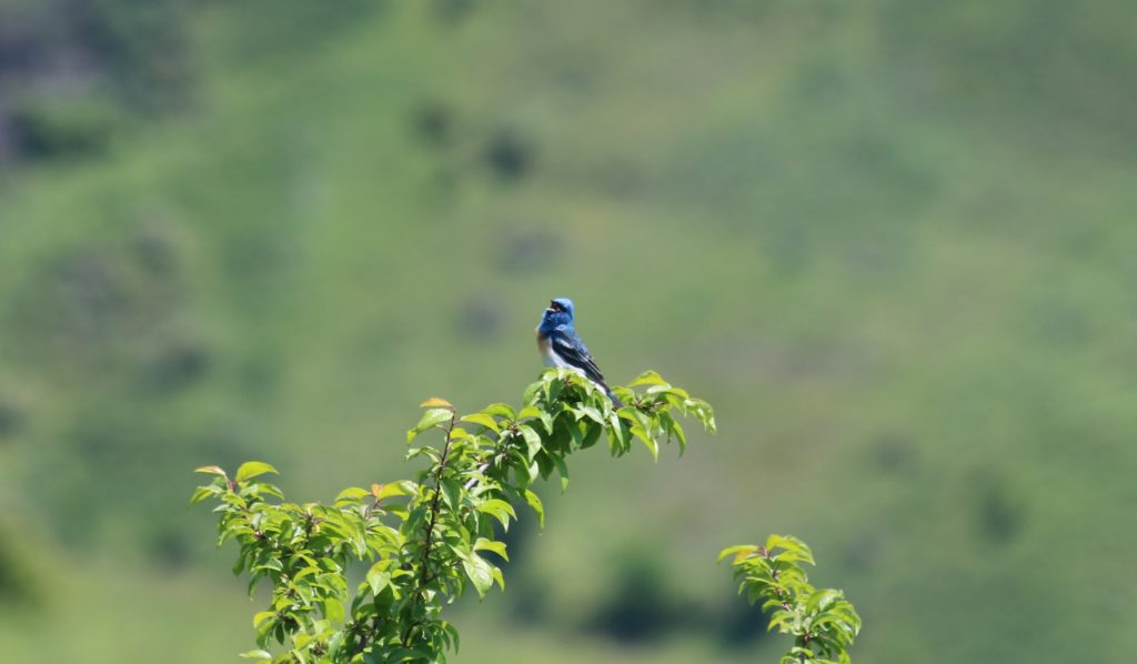
Lazuli Bunting (?)
The other side of the mountain was a completely different environment. The first half of my day was spent primary in ranch lands. The second half, surrounded by farms.
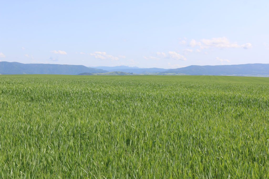
Farmland as far as the eye can see.
The descent into Grangeville was fun, but it was the ride from there to Stites that was out of control. And I don’t mean that in a good way. The road was old and a bit gravelly. It was also steep and studded with switchbacks. Not the best environment for going fast, but steep enough that it was difficult to go slow. About halfway down I paused to let my brakes cool, and got passed by another rider from the TransAmerica Race who slowed to ask if I was okay. I said yeah, and he went back to speeding away while I followed more slowly after another minute of rest.
At the bottom of the hill was Stites, where I’m camping in a park behind the grocery. The grocery that is in the process of being sold. Luckily, I didn’t need any food, though I did buy a cold soda as a treat. Back in the field, there’s a pit toilet and a water spigot, so I’m set.
Tomorrow I enter the land of no services (and presumably no internet or cell signal), and when I emerge I’ll be in Montana!
Roadkill count: none!
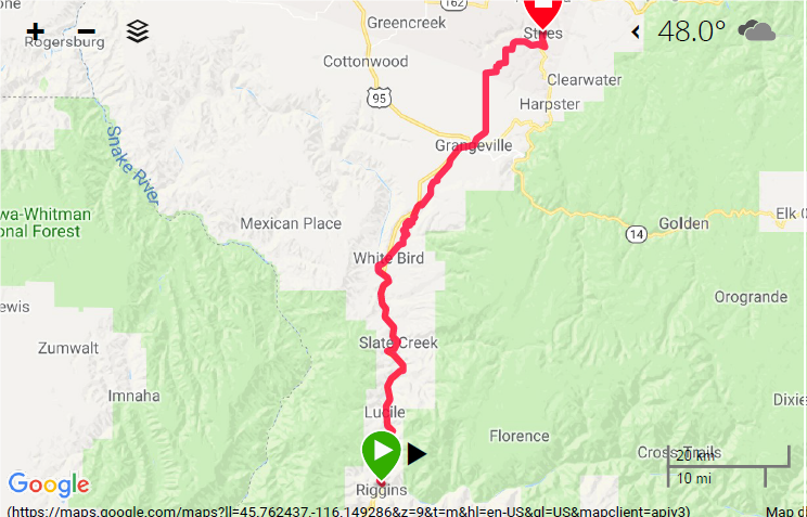
Map Day 15


Wait until you get to The Great Plains to see farmland as far as the eye can see. (-;
Absolutely love that magpie shot!
Love the photos! Glad to see you’re still good. Stay safe!