6/14/18
Stats:
Distance: 77.75 mi
Average Speed: 10.8 mph; Max speed: 37.3
Elevation Gain: 4,057
Average Temp: 70.6 F; Temp range: 46.4-84.2 F
Story:
I am exhausted.
I woke up this morning a bit after six (thank you, phone alarm) but I had woken several times during the night, so I was still a bit drowsy. The temptation to sleep in was mitigated by the knowledge that I had to cross the continental divide three times today. It would be a bit day and I didn’t want to leave too late.
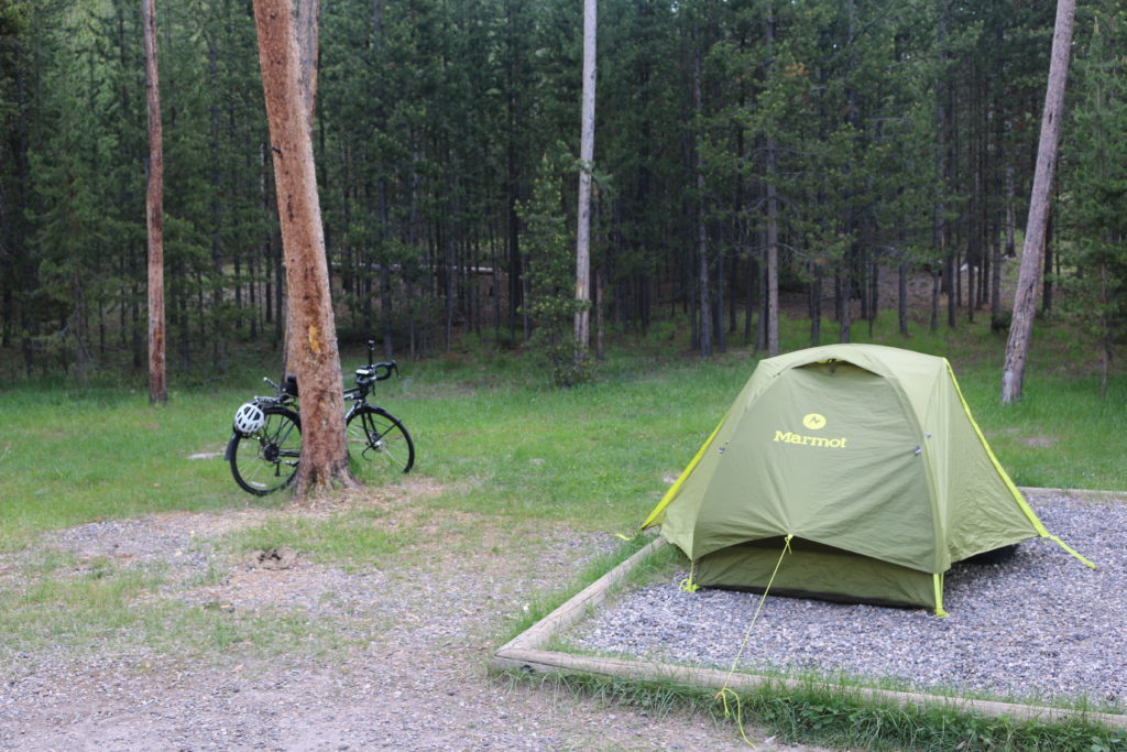
Where I woke up, Day 24
Ed and Deb woke shortly after I did and left the campground before me, but it was nice to be able to thank them again and say goodbye. I packed as I made my breakfast, always careful not to leave the food unattended lest a bear choose that moment to wander into the area, or a ranger choose that moment to drive by and issue me a citation. I saw no bears, but I did see two coyotes. Sadly, it was when I was walking back from the restrooms and I didn’t have my camera. But life isn’t about the pictures, so I just stood and watched them. Occasionally, they would watch me back.
I was all packed up and ready to go around 7:30. I turned on my Garmin and had a facepalm moment. I had forgotten to load up the new map section. Yesterday I started map section 5, but today I would really get into it. It wasn’t that I would need it for directions: ride to Old Faithful then follow the signs out the South Entrance. Stay on the only road there and you’ll end up in Grand Teton National Park where you will eventually pass Colter Bay. Easy. Pretty much, “Get on road. Stay on road.” I didn’t need the route for directions, I needed it for the elevation profile. There were a few good climbs on the map for today, and I like to be able to see my progress on the elevation profile page of the Garmin.
I sat down right where I was, outside the restroom/dishwashing station and proceeded to dig out the necessary equipment to load up the map section. It didn’t really take long, it was just a pain to have forgotten.
On my way out of the campground, I asked the ranger on duty at the registration desk for the forecast. Partly cloudy and windy, high around 60, lows in the 40s, and tomorrow a thunderstorm in the afternoon. Armed with the knowledge that it shouldn’t be rainy or unbearably hot, I set out.
The wind wasn’t as bad as it was yesterday when I rode to Grand Prismatic, making the ride more pleasant. There wasn’t much wildlife around though. Only a few bison, some ducks, and, when I stopped to remove a layer, a swan.
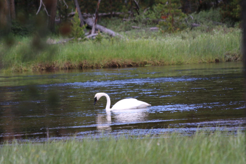
Swan
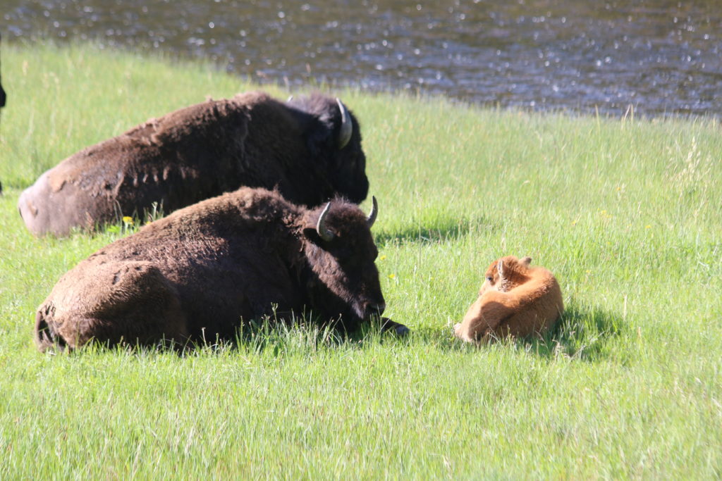
Bison and baby.
I made it to Old Faithful, stopped at the post office to mail off some postcards, then popped into the visitor center. I had about 50 minutes before the next estimated eruption, so I bought some more postcards and then went to the Old Faithful Inn where I stopped into the little café there for a scone and a cup of coffee. I stayed only a little bit beyond the eruption to reorganize my bags because there had been some imbalance in the front panniers again, and set out once more.
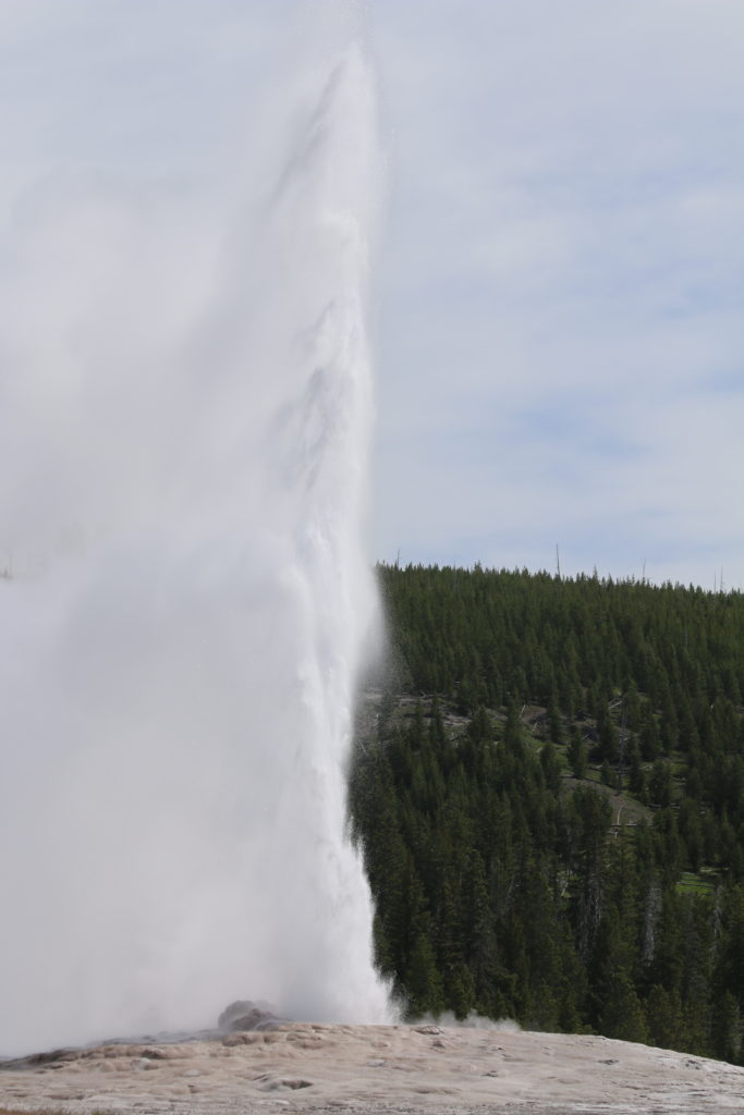
Old Faithful
Shortly after Old Faithful the climbing began and in due time I reached the continental divide for the 1st time today and the 2nd time this trip. Lake Isa is a fun little oddity. It sits on the continental divide, but in such a way that the water that flows out of the west side of the lake ultimately goes east to the Atlantic Ocean or Gulf of Mexico while the water that flows out of the east side of the lake ultimately travels west to the Pacific Ocean. It’s otherwise a mundane little lake, but that quirky fact makes it interesting.
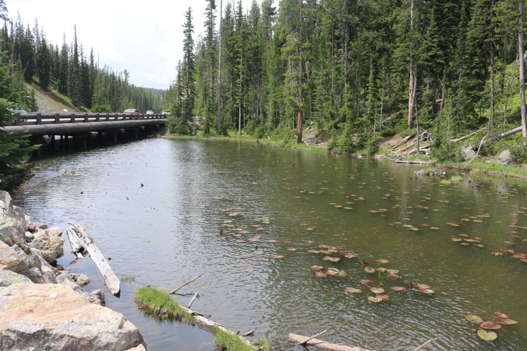
Lake Isa
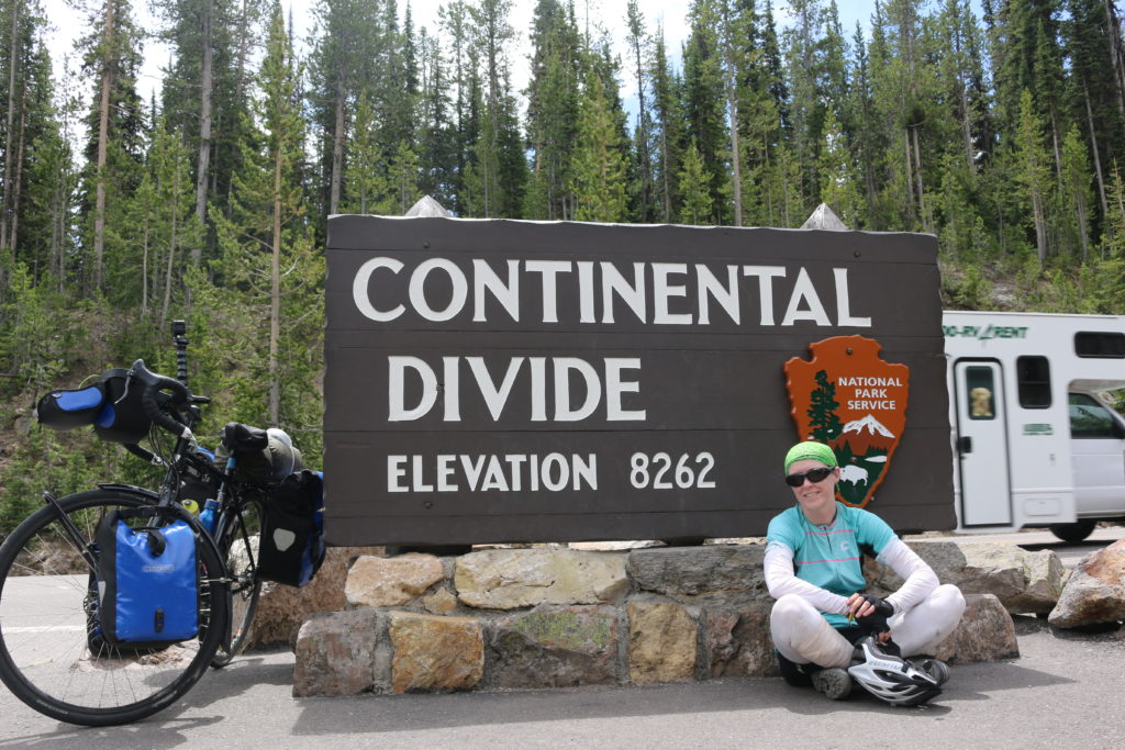
Continental Divide Take 1
A little further I stopped for a snack and encountered two tourers, Jason and Eric. Jason and Eric are riding to raise money for the Alzheimer’s Association. You can check them out at Wanderingi.net. We discussed gear and travels and destinations and traded photo ops before a goodbye hug and moving on.
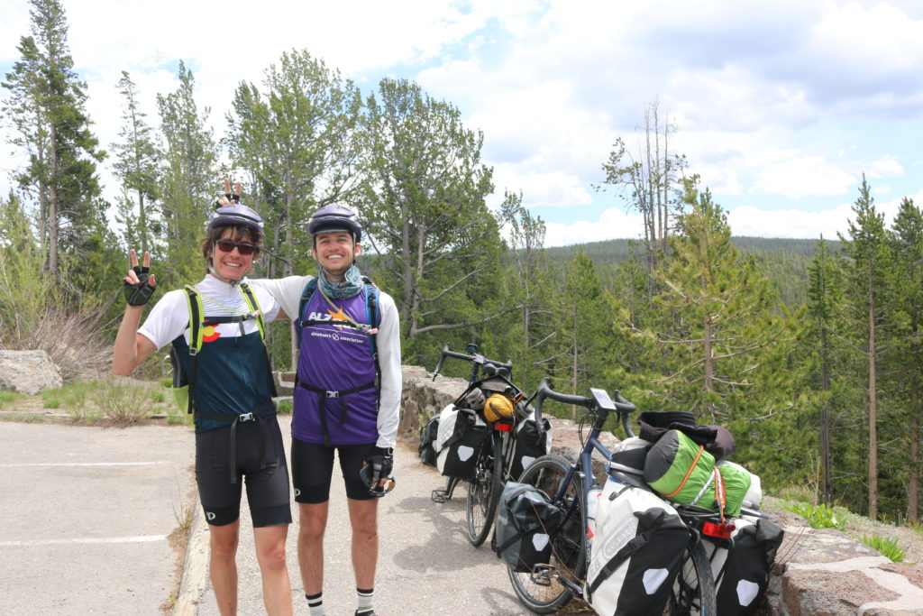
Jason and Eric
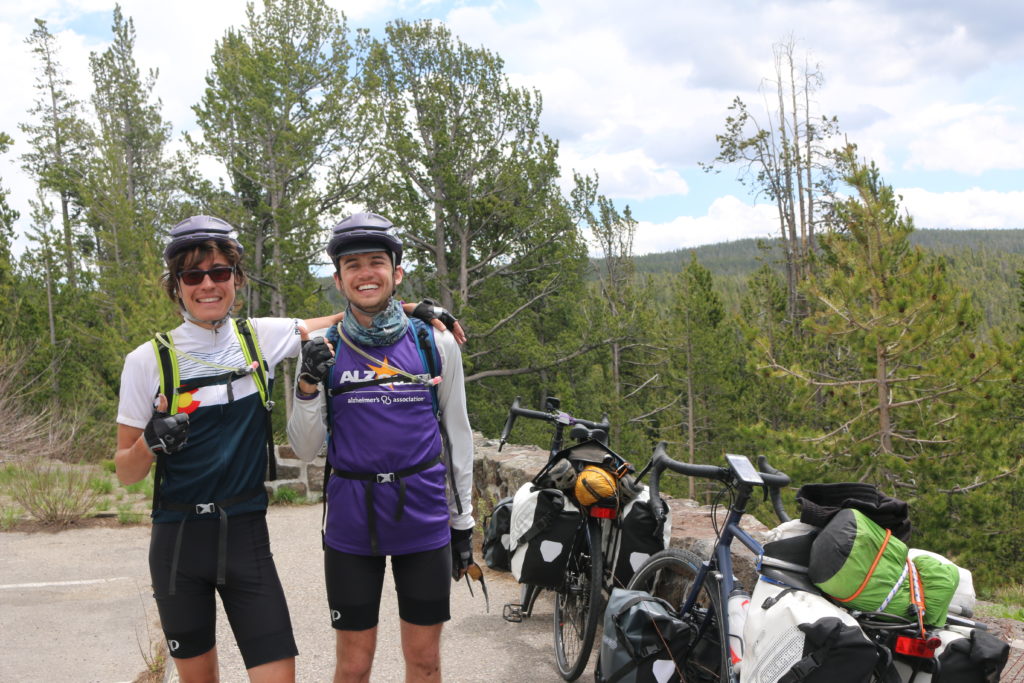
Jason and Eric without the bunny ears
Another longish but not terrible climb later, and I was at the continental divide. Again.
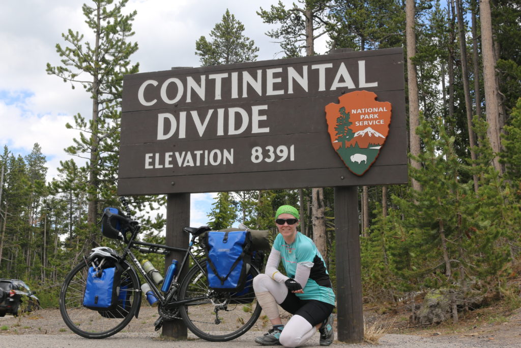
Continental Divide Take 2
There was a nice downhill after that. I passed by Lake Yellowstone, but didn’t follow the road towards Grant Village that would have given me a good view to take a picture from. Don’t get me wrong, Yellowstone is a beautiful place and I love it, but there was a lot of sameness to the riding. Most of the time road was lined on both sides by pine forest. And then every once in a while you get a view of something spectacular.
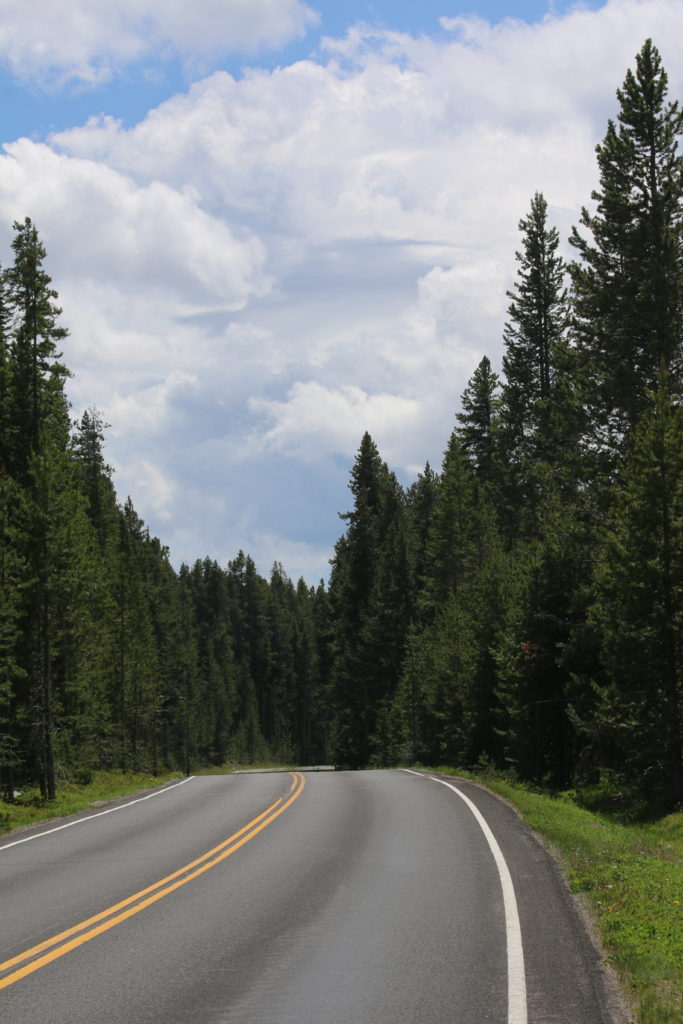
A typical view for the day
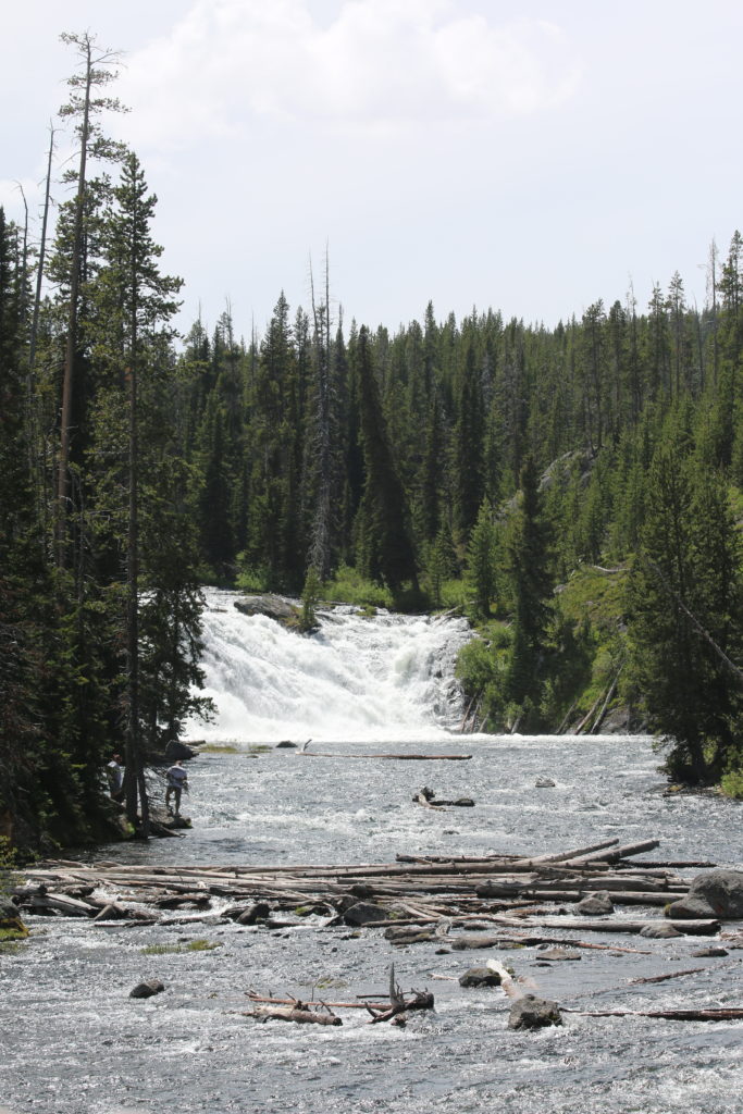
Lewis Falls
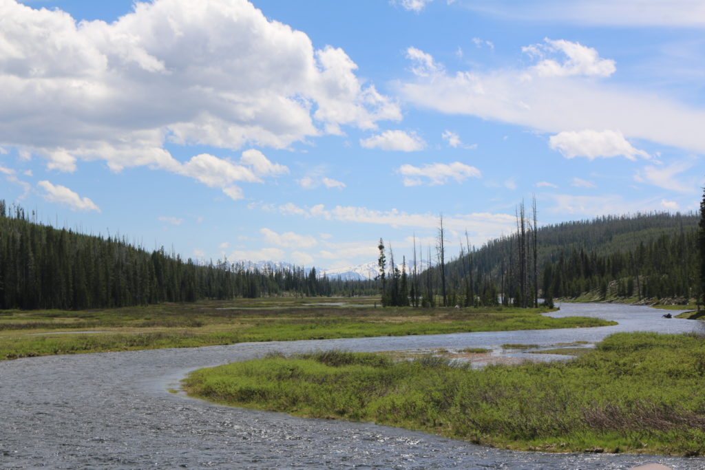
Lewis River
Today was also the first day that I wiped out on the bike. I wanted to pull off the road into one of the pullouts, which everywhere else had been hard packed dirt with a thin layer of gravel on top. Not this one. This one was loose gravel several inches deep. As you might imagine, my front tire sank in and I came to an abrupt stop, or as abrupt as a stop can be when you’re only going 5mph at the time. I didn’t have time to twist my feet out of the clipless pedals, so down I went. As falls go it was more laughable than anything. I fell well, which is a bonus as I’m not a skilled faller, landing on my right shoulder/upper right back with my chin tucked so neither my head nor helmet met the ground. As of now, all I’ve got is a few muscles twinging a bit louder than they already were, so it seems no real harm was done. Yay!
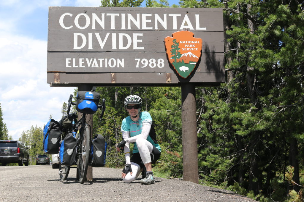
Continental Divide Take 3
I made it out of the park and into the land between Yellowstone and Grand Teton. I was fortunate enough to spot a group of cars all pulled over at one spot. That usually means that there’s something interesting to see, so I asked. A moose! I had been hoping to see a moose when I was here two years ago and it didn’t happen. To spot one now would be awesome. It was a cow and her calves, but I couldn’t see the young ones, only mama moose having a rest in the shade of some trees. Now if only I could see a wild bighorn sheep…
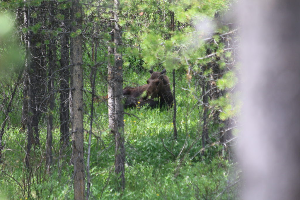
I saw a moose!
There is a climb from the Snake River valley where I saw the moose to get up into Grand Teton. It wasn’t a huge climb at under 1,000 feet of elevation gain, but it was late in the day and I was tired. I slogged my way up and pulled over to get a picture of the sign. One guy greeted me with “Hey, you made it! Congratulations.” He had seen me working my way up the hill earlier. Another asked me how far I was riding, and I spent a few minutes explaining to a small crowd about my particular brand of insanity.
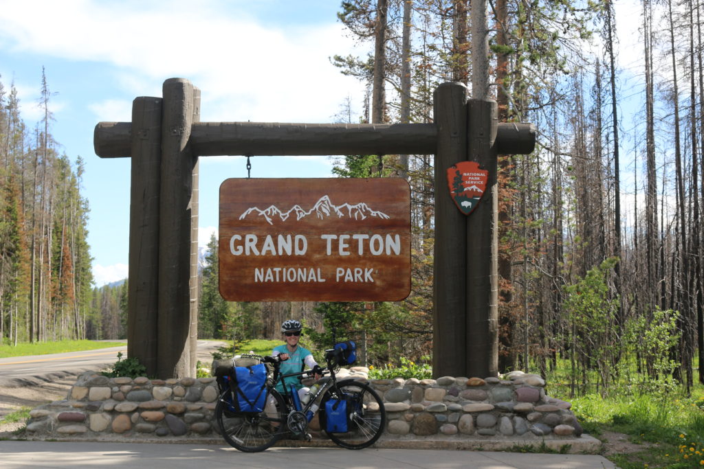
Entering Grand Teton National Park
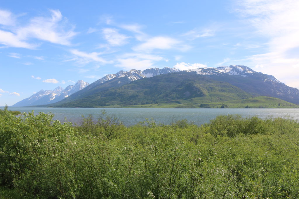
The Tetons
I’ve realized I’ve been remiss in my flora pictures. Here you go.
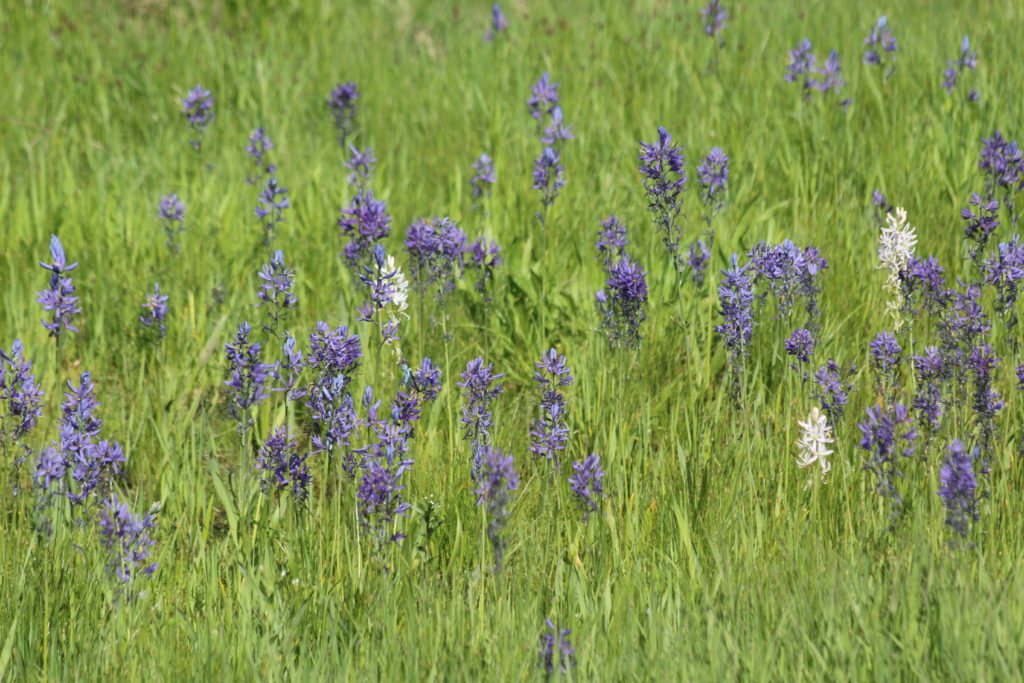
Flowers
There were also some interesting warning signs, not that I saw what they were warning about
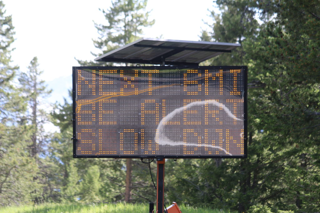
Warning part 1
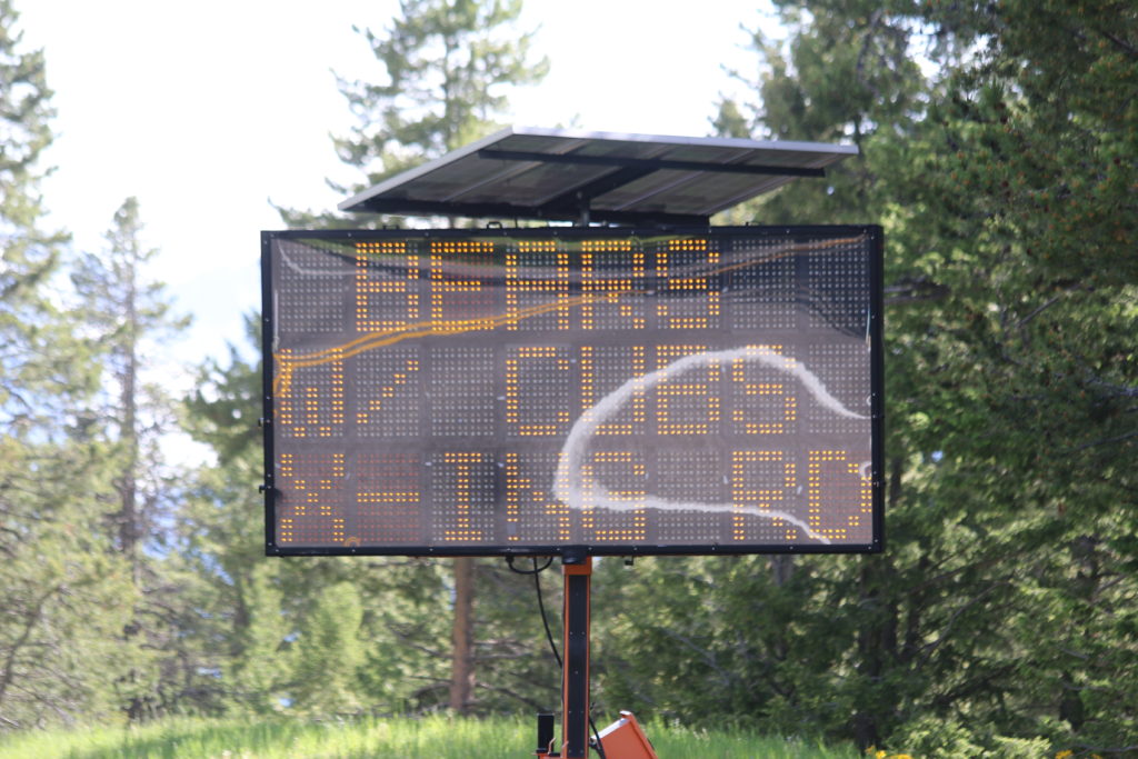
Warning Part 2
Eleven miles later and I arrived at Colter Bay. There are a number of other cyclists here at the hiker/biker sites, and I said hi before heading down to the village to do laundry and eat. By the time my laundry is done and I get back to the campsite, it’ll be time to turn in in preparation for tomorrow’s big climb. Togwotee pass, at over 9,658 feet will take me to my highest elevation yet.
Here’s hoping I have a solid night of uninterrupted sleep.
Roadkill count: 1 fox kit, 1 snake.
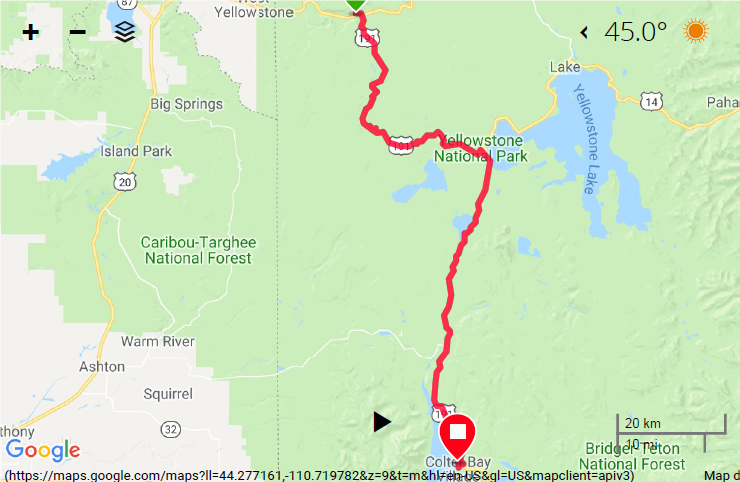
Map Day 24


Fantastic journey, Cindy!
WEather forecast still calling for cold and wet weather.
Tonight:
Periods of showers and possibly a thunderstorm. Low around 42. East wind 9 to 14 mph, with gusts as high as 21 mph. Chance of precipitation is 80%. New precipitation amounts between a half and three-quarters of an inch possible.
Monday
Showers likely, with thunderstorms also possible afternoon. Cloudy, with a high near 52. East southeast wind 7 to 10 mph becoming southwest in the morning. Chance of precipitation is 70%. New rainfall amounts between a quarter and half of an inch possible.
Monday Night
Scattered showers and thunderstorms. Mostly cloudy, with a low around 38. South southwest wind 5 to 8 mph becoming southeast after midnight. Chance of precipitation is 40%.
Tuesday
Scattered showers before 9am, then scattered showers and thunderstorms between 9am and noon, then showers likely and possibly a thunderstorm after noon. Cloudy, with a high near 51. Southeast wind around 7 mph becoming west in the afternoon. Chance of precipitation is 60%.
I’m sure that you don’t have a lot of time for surfing but we thought my might appreciate this story about a woman cycling alone around Central America 60 years ago. I love her “panniers”.
http://www.strangerless.com/helina-rautavaara-mother-of-hitchhiking-and-long-distance-cycling/
Updated forecast:
Flood Watch
Flood Watch
National Weather Service Riverton WY
131 PM MDT Sun Jun 17 2018
…Moderate to Heavy rain potential tonight through Monday
evening…
.Periods of showers with isolated thunderstorms will occur late
this afternoon through tonight. Moderate to heavy rain will be
possible. Additional rain showers will occur through Monday
evening with isolated thunderstorms in the afternoon and evening.
WYZ001>003-012-013-181015-
/O.CON.KRIW.FA.A.0005.180618T0000Z-180619T0600Z/
/00000.0.ER.000000T0000Z.000000T0000Z.000000T0000Z.OO/
Yellowstone National Park-Absaroka Mountains-Cody Foothills-
Teton and Gros Ventre Mountains-Jackson Hole-
Including the cities of Lake, Mammoth, Old Faithful, Cody,
Meeteetse, and Jackson
131 PM MDT Sun Jun 17 2018
…FLOOD WATCH REMAINS IN EFFECT FROM 6 PM MDT THIS EVENING
THROUGH MONDAY EVENING…
The Flood Watch continues for
* A portion of northwest Wyoming, including the following areas,
Absaroka Mountains, Cody Foothills, Jackson Hole, Teton and
Gros Ventre Mountains, and Yellowstone National Park.
* From 6 PM MDT this evening through Monday evening
* Periods of Moderate to heavy rain are forecast this evening
through Monday morning. Then, additional rain showers are
expected Monday afternoon into Monday evening.
* Rainfall totals of 0.75 inches to 1.5 inches are forecast with
locally higher amounts possible.
PRECAUTIONARY/PREPAREDNESS ACTIONS…
A Flood Watch means there is a potential for flooding based on
current forecasts.
You should monitor later forecasts and be alert for possible
Flood Warnings. Those living in areas prone to flooding should be
prepared to take action should flooding develop.
&&
$$
I did Toghatee Pass (spelling?) going the other way so long ago. I was hoping that our paths would coincide at least at one point. I certainly didn’t have the cold and snow you are getting. You are pretty tough to keep going. Once you are east of the mountains, hopefully it will warm up and not give cold fingers any longer.
How many business cards have you given out so far? How many do you have left?
Maybe 20 or so. I have a lot left.
Yellowstone is a very busy place in the summer months, glad you made it thru safely (minus the one wipe out).
I love reading your blog and learning of your adventures. You are doing great!
Forecast for Central/Western Wyoming as of 6:36 MDT
.TUESDAY…Cloudy with scattered rain showers and isolated
thunderstorms. Some thunderstorms may produce gusty winds, small
hail, and heavy rainfall. Highs around 68. Northeast winds around
15 mph late in the afternoon. Chance of precipitation 50 percent.
.TUESDAY NIGHT…Cloudy. Scattered rain showers and isolated
thunderstorms in the evening, then scattered rain showers after
midnight. Lows around 47. Chance of precipitation 50 percent.
.WEDNESDAY…Cloudy. Scattered rain showers in the morning, then
scattered rain showers and isolated thunderstorms in the
afternoon. Highs around 66. Chance of precipitation 50 percent.
.WEDNESDAY NIGHT…Mostly cloudy. Isolated rain showers and
thunderstorms in the evening, then isolated rain showers after
midnight. Lows around 46. Chance of precipitation 20 percent.
Glad you didn’t get hurt when you fell! The scenery looks amazing! Glad you’re having such a great time. Stay safe!
“Life is not about the pictures” So true! For the last week I’ve been in the PNW where the beauty becomes internal. Pictures are good memories, but they aren’t the whole story. We have a stunning country that needs to be seen firsthand. I’ve become protective of our natural wonders.
Having said that, I’m gobsmacked by your views! Thanks for sharing places I might never visit.
“We have a stunning country that needs to be seen firsthand.”
Where’s my like button?